
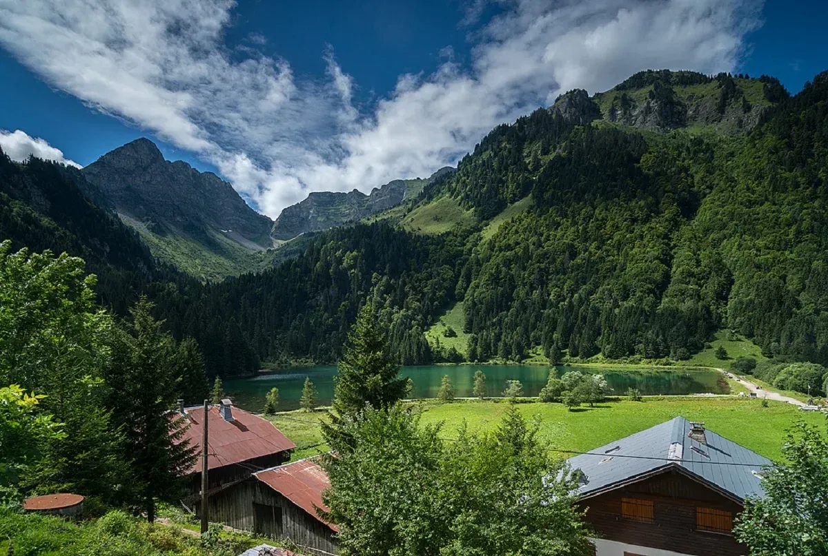
What the ice left at Les Plagnes.
The interpretation panels around Les Plagnes explain how ice shaped this corner of the Chablais. They connect the lake with Cubourré nearby, letting you read successive changes in the same mountain landscape.
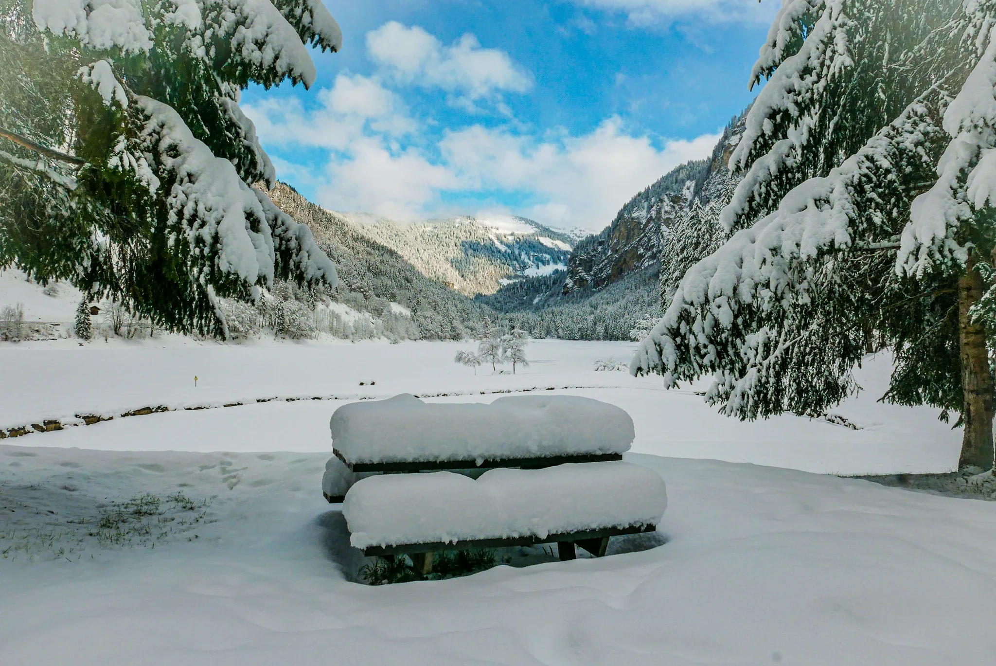
The dyke gives straightforward views across the water. Once the snow has gone, the lakeside path takes the walk further; its uneven sections make a different proposition from the accessible stretch along the dyke.
The Tindérêts refuge lies above the lake, giving stronger walkers a route into the mountains. Around the shore, protection as a sensitive natural area covers the water and its surroundings, including the places where swimming and camping would disturb them.
- UNESCO Geopark site
- Lakeside interpretation
- Mountain reflections
Before you go
No swimming, including dogs, or water sports; fishing has separate rules. Dogs must be on leads. Camping, bivouacs and fires are banned within 200 metres. The full circuit is unsuitable for pushchairs.